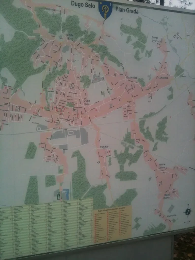
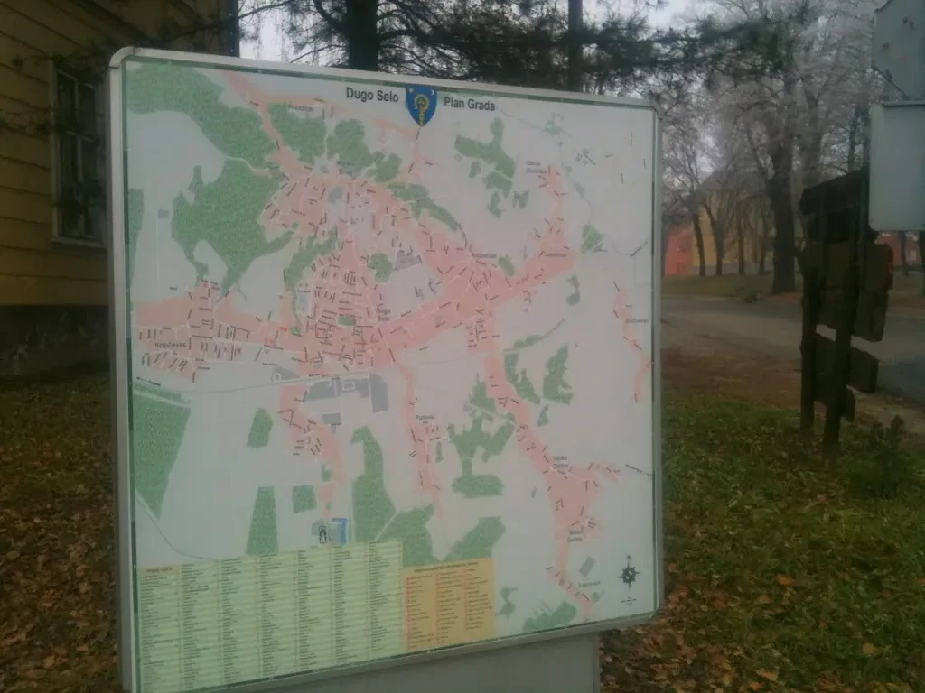
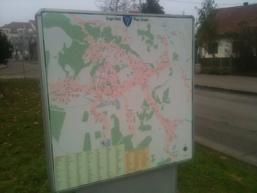
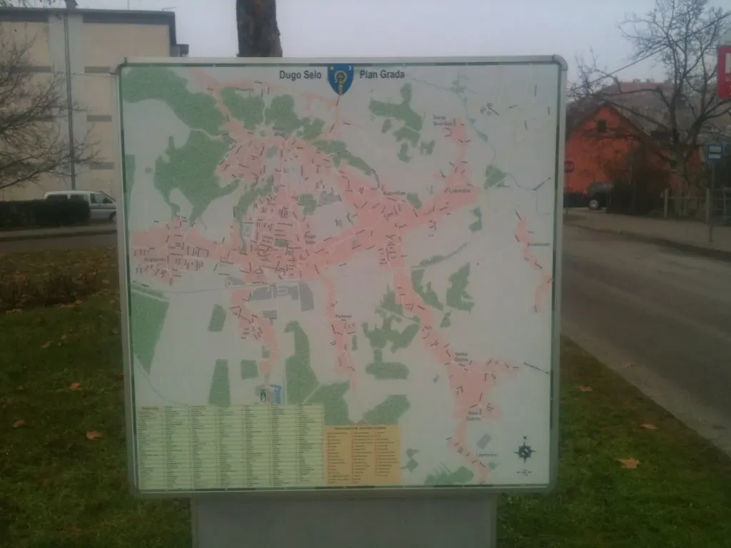
Graphical preparation of a map for Long Village city
One day in September 2013. I got a call from a man who works with the Long Village (cro: Dugo Selo) city council. He said that he saw my edits of a Dugo Selo map on www.openstreetmap.com service (I left my contact information there). I was very surprised when he asked me if I would like to draw the whole city plan for them… After a few seconds of hesitation, I said “yes, I’ll do it!”. Today, I’m happy to say that the map is finished and is placed on several billboards located on several locations in Long Village area. So, if you ever come to Dugo Selo, take a glimpse ;)…